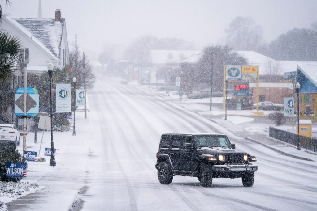
A powerful winter storm off the East Coast has triggered snow and severe cold alerts across several states, with bitterly cold air expected to sweep as far south as Florida on Sunday.
“The explosive deepening rate of this cyclone is producing very gusty winds in the midst of moderate to heavy snow across eastern North Carolina early this morning,” the National Weather Service (NWS) Weather Prediction Center (WPC) said in an early Sunday morning forecast discussion. “This intense cyclone is beginning to slide further off the mid-Atlantic coast, allowing the snow to taper off by around sunrise.”
As the cyclone continues to intensify and expand, strong winds will push up the East Coast early on Sunday, with light snow brushing parts of southeastern Massachusetts, it said. As the system moves farther out into the Atlantic, winds along the East Coast will gradually ease by Sunday night, it added.
On Saturday, the WPC said the “rapidly strengthening” storm off the North Carolina coast would bring widespread heavy snow and gusty winds from the southern Appalachians across eastern Georgia, the Carolinas and southeastern Virginia through Sunday morning.
“Near blizzard to blizzard” conditions would be possible through Sunday morning across the coast from the Grand Strand of South Carolina up through far southeast Virginia, it added.
CNN reported Sunday morning that the system—which dropped more than a foot of snow in areas of North Carolina—had officially hit bomb cyclone criteria.
What Is a Bomb Cyclone?
According to the National Oceanic and Atmospheric Administration (NOAA), a bomb cyclone, also known as bombogenesis, may occur when cold and warm air collide, such as air over warm ocean waters. It also happens when a cyclone rapidly strengthens over a 24-hour period, according to the agency.
“A bomb cyclone is a storm that rapidly intensifies when its central pressure drops at least 24 millibars in 24 hours,” AccuWeather meteorologist Brandon Buckingham said in an advisory shared with Newsweek on Saturday. “A projected drop of 30 to 35 millibars signals an exceptionally powerful storm capable of producing damaging winds, heavy snow, coastal flooding and significant beach erosion.”
In the “intense” cyclone’s wake, a surge of bitterly cold air will sweep down the Florida Peninsula on Sunday morning, pushing freezing temperatures all the way toward the southern coast, the WPC said Sunday morning.
“Temperatures this cold have not been experienced across southern Florida since the record cold month of December 1989.”
As of early Sunday, extreme cold warnings from the NWS span the length of the state, warning that “dangerously cold” temperatures and wind chills could lead to frostbite and hypothermia.
Similar alerts are in place across portions of Louisiana, Alabama, Mississippi, Georgia, the Carolinas, Virginia, and West Virginia as of reporting.
Some East Coast states, including North Carolina, South Carolina, and Virginia have been issued winter storm warnings by the NWS, which signal that “a significant combination of hazardous winter weather is occurring or imminent.”
Read the full article here


