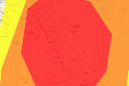
A new map from the National Weather Service (NWS) shows fire weather watch alerts stretching across the Chicago area, where unseasonably warm temperatures, low humidity and gusty winds are expected to create conditions rife with potential for fast‑spreading fires on Wednesday.
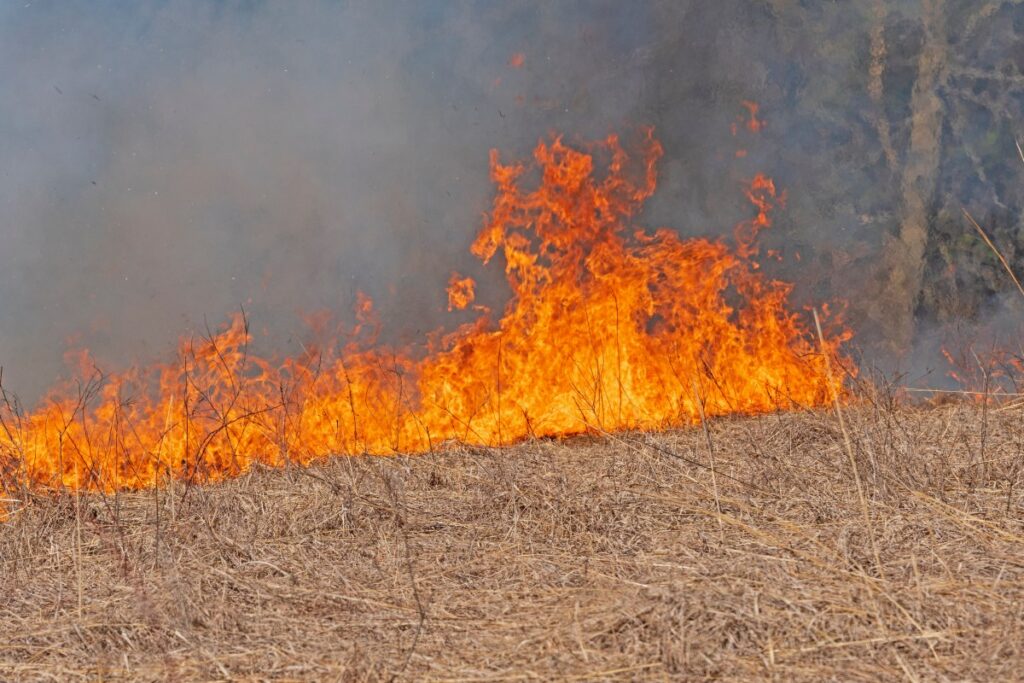
The alerts come as parts of the Great Plains faced severe fire danger, with the NWS Storm Prediction Center warning of “extremely critical” conditions on Tuesday driven by damaging wind gusts of up to 70 mph, extremely dry air and highly combustible vegetation across states including Colorado, Kansas, Nebraska, Oklahoma and Texas. A wildfire erupted in Kansas on Tuesday, scorching more than 15,000 acres and prompting evacuations.
Forecasters say any spark in these regions could lead to rapid, uncontrollable wildfire growth—a stark backdrop to the elevated but less severe fire weather threats now taking shape around Chicago.
The NWS office in Chicago issued the alert at 1:45 p.m. local time Tuesday afternoon. The fire weather watch will go into effect Wednesday morning for roughly the northern third of Illinois, including Chicago. More than 5 million people reside in the watch area just for Chicago alone. Newsweek reached out to the NWS office via phone for comment.
The affected areas include the following counties: Winnebago, Boone, McHenry, Lake, Ogle, Lee, DeKalb, Kane, DuPage, Cook, LaSalle, Kendall, Grundy and Will.
“The combination of unseasonably warm temperatures (highs in the 60s), dry conditions (RH values around 15-25%), and gusty west-southwest winds (gusting around 35-40 mph) will lead to an elevated fire danger on Wednesday,” NWS Chicago said in the fire weather watch. “While fuel moistures may be more questionable in some areas, local fire agencies indicate that finer fuels are primed and could lead to rapid fire spread in these conditions. For this reason, a Fire Weather Watch has been issued for portions of northern Illinois on Wednesday. Confidence in Red Flag Warning criteria being met is currently highest along and north of Interstate 88.”
The high temperatures, when combined with low humidity and gusty winds, create dangerous conditions for burning, which is typically not seen in the Midwest until the spring months.
Dangerous wildfire conditions are seen across a wide swath of the U.S., stretching as far west as Colorado and as far east as Illinois. High winds are sweeping across the U.S. ahead of a predicted winter storm that would bring heavy snow and strong winds to much of the U.S. West on Tuesday.
It’s not uncommon for both hazards to occur simultaneously in the Plains states, NWS Pueblo, Colorado, warning coordination meteorologist Klint Skelly previously told Newsweek.
“When you get a lot of snow over the mountains, a lot of that moisture remains over the mountains,” Skelly said. “Once the air gets to the other side of the mountains…that setup helps the winds and the dryness develop. Fire and ice kind of go together in Colorado with these kinds of setups.”
But wildfires in Chicago and northern Illinois in February are much more uncommon. Residents there are urged to limit outdoor activities with open flames while the fire weather watch is in place.
“Any fire that develops will catch and spread quickly. Outdoor burning is not recommended,” NWS Chicago said in the alert.
It remains to be seen if the fire weather watch will be upgraded to the more severe red flag warning. Similar conditions occurred in late February 2024, when NWS Chicago meteorologists issued a red flag warning across Chicago for the first time during late winter in seven years.
Read the full article here

