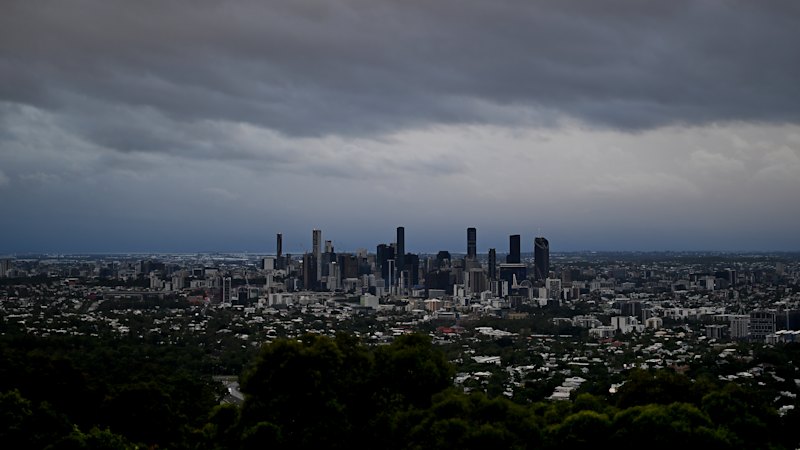
Severe storms with large hail and damaging winds are possible tonight and tomorrow across south-east Queensland.
The worst-hit areas will likely be just west of Brisbane and between the Gold Coast and Sunshine Coast hinterlands, but some suburbs of the River City could be drenched.
“If the severe storms do develop, they have the potential to bring large hail, damaging winds and heavy rainfall,” senior meteorologist Felim Hanniffy said.
The BOM is warning of large hail and damaging winds tonight in parts of south-east Queensland, with some Brisbane suburbs possibly affected. Credit: Getty Images
“The risk is primarily across more inland areas, but certainly … it could move towards more coastal areas as well.”
Hanniffy, from the Bureau of Meteorology, added that rainfall of up to 50 millimetres was possible in some areas. A maximum of 20 millimetres was likely in the most affected parts of Brisbane, but some suburbs would likely get significantly less.
Temperatures and humidity were expected to ease slightly but remain high, with a maximum of 30 degrees or more still predicted every day next week.
“This kind of [humidity] is more akin to Far North Queensland, and with that heat and humidity, it does mean you’ve got extra instability in the air, hence why we’ve got a … potential severe storm risk today,” Hanniffy said.
Start the day with a summary of the day’s most important and interesting stories, analysis and insights. Sign up for our Morning Edition newsletter.
Read the full article here


