South-east Queenslanders have been warned of possible hail on Saturday afternoon, after storms passed through the region on Friday night.
Those storms, which swept through the Brisbane about 6pm on Friday, dumped almost 22 millimetres on the city between 5pm and 7pm and, at its peak, left more than 3200 properties without power.
The Bureau of Meteorology warned that, as of 1.20pm on Saturday, severe thunderstorms were forming west of Brisbane.
“These thunderstorms are moving towards the east. They are forecast to affect Esk, southern Lake Wivenhoe and the area west of Warwick by 1.50 pm and Allora, the area north-west of Warwick and the area north of Warwick by 2.20pm,” the BOM warned.
BOM senior meteorologist Angus Hines said the area between the Sunshine Coast and Moree in NSW was particularly volatile.
“This is not only where severe thunderstorms are most likely to occur today, this is where we could see even more significant weather impacts in the form of giant hailstones – potentially five centimetres or greater across, and destructive winds 120 kilometres an hour or stronger,” he said.
“The region where we could see those really high-end impacts go from western parts of Brisbane and the Sunshine Coast up into the hinterlands, across Toowoomba, into the Darling Downs, then across the southern border ranges and into the north-western slopes of New South Wales.”
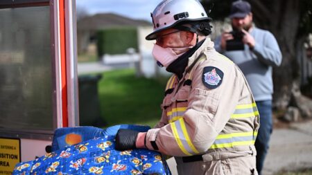
Queenslanders have been urged to prepare for a severe disaster season.Credit: Brittney Deguara/Nigel Owen
Another BOM senior meteorologist, Miriam Bradbury, said the storms were expected to ease off after the weekend.
“We will start to see the storms clearing the east pretty quickly,” she said.
“On Monday, showers and storms remain possible through parts of southern Queensland and the New South Wales coastal fringe, but they’ll be on the clearing trend and, by Tuesday, clear and dry conditions are forecast, likely to continue for most of the eastern seaboard through the next week.”
Read the full article here

