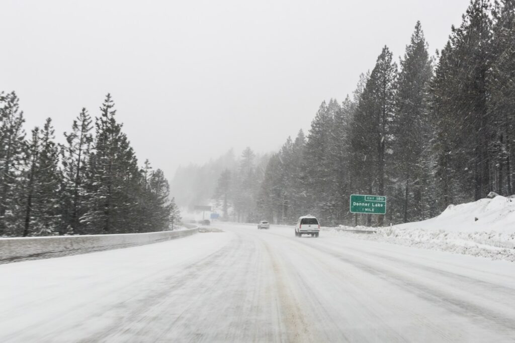
New maps published by the National Weather Service (NWS) Weather Prediction Center show which states in the U.S. West have the highest chances of getting hit hardest by incoming winter storms that could dump up to 10 feet of snow over the next two weeks.
A series of Pacific storms is poised to deliver a dramatic shift in the West’s weather pattern later this week and into next, with forecast models projecting as much as 10 feet of snowfall across high‑elevation terrain from the Sierra Nevada to the central Rockies. The incoming storms mark a sharp turn from the region’s prolonged dry stretch and persistent snow deficits in states like California, Utah and Colorado, where low snowpack has raised concerns about water supply heading into spring.
“Prior to this week, the amount of water locked up in the existing snow cover was close to a record minimum in Colorado and Utah. This zone constitutes a large part of the Colorado River basin, and with limited spring runoff available, it could be a major problem for summer water concerns on the river and man-made lakes,” AccuWeather senior meteorologist Brett Anderson told Newsweek in an email sent to reporters on Thursday morning.
Forecasters say the new pattern could significantly boost mountain snowpack, but it may also bring hazardous travel conditions, periods of heavy precipitation and strong winds as multiple rounds of winter weather sweep inland.
The Weather Prediction Center shared maps depicting the probability of at least minor winter weather impacts across the U.S. over the next seven days, with a different map designated for each day. Widespread high chances of impacts don’t begin to take hold until February 16.
Monday Winter Storm Impacts
States with the highest chance of experiencing at least minor impacts from the incoming winter storms on Monday will include California, Nevada and Utah. The most concentrated area of impacts looks to be along the Sierra Nevada in California, which is showing an above 95 percent chance of minor winter weather effects.
Tuesday Winter Storm Impacts
The chance of impacts spreads even further by Tuesday, hitting at least 60 percent for 10 states in the West. Those expecting the highest chances of impacts include California, Utah and Colorado, which have pockets expecting at least 90 percent chances of minor effects.
Wednesday Winter Storm Impacts
The breadth of the impacts begins to diminish by Wednesday, although California, Washington, Oregon, Idaho, Utah, Colorado, and Arizona are still expecting at least a 60 percent chance of minor winter weather impacts, if not higher.
List of Active Winter Weather Warnings
As of 12:30 p.m. Eastern time Thursday, winter weather advisories were in place for northern Utah and northern Colorado, with the more severe winter storm warnings in place for southern Wyoming and northern Colorado. However, these alerts were only in relation to a winter storm that struck earlier in the week. They were set to expire by noon or 5 p.m. Thursday, depending on location.
NWS meteorologists will likely issue more winter weather warnings in regard to the incoming storms once they further develop.
Some NWS offices have begun issuing hazardous weather outlooks regarding the incoming storms.
“Mountain snow will continue into Friday evening with intermittent impacts on mountain roadways. Daytime temperatures will help with melting, but overnight travel could see snow and ice covered roads,” the NWS office in Grand Junction, Colorado, said in a hazardous weather outlook. “A brief lull in active weather Saturday and Sunday will precede a return of unsettled weather as we move into early next week.”
Read the full article here


