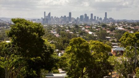
After Alfred moved “erratically” overnight, delaying its arrival, the Bureau of Meteorology is expecting the centre of the cyclone will cross the Southern Moreton Bay Islands, near Brisbane, very late on Friday or in the early hours of Saturday.
Delivering an update at 3pm (Brisbane time) on Thursday, Bureau of Meteorology Brisbane manager Matthew Collopy said the cyclone was expected to hit the outer edge of the Bay Islands as a category 2, with winds near the centre of about 95km/h, and gusts up to 150km/h.
The wait: A sandbagged shop in Queen Street Mall in Brisbane’s CBDCredit: Dan Peled
Daily rainfall of 300 to 400mm are possible from Friday to Saturday, with total rainfall for the severe weather event up to 800mm, which could cause flash and river flooding.
Waves of 12.3 metres have been recorded off the Gold Coast, and Alfred is expected to produce a significant storm surge on its southern side, with sea levels 0.5 to one metre above the normal highest tide.
Collopy was asked how certain he was Alfred would cross the coast as a category 1 or 2.
He said Alfred was expected to be a category 2, but when it arrived at the outer islands of Moreton Bay it would start to decay.
“The strength as it crosses the island is expected to be somewhere between that category 1 and category 2,” Collopy said.
“It is too early to say exactly what side of that threshold it will fall, and it will likely weaken further as it crosses the bay through that more complicated environment.”
Read the full article here

