


Tropical Storm Debby has strengthened into a Category 1 hurricane ahead of its anticipated landfall on Florida’s Gulf Coast on Monday, U.S. forecasters said late Sunday.
The storm’s maximum winds had increased to 75 mph at 11 p.m. ET, according to the National Hurricane Center.
The hurricane was about 65 miles west of Cedar Key, Florida, and about 100 miles west of Tampa, and it was moving north at about 12 mph, the center said.
Debby is expected to continue strengthening before it reaches the Big Bend coast Monday, weakening after it moves inland across northern Florida and southern Georgia, it said.
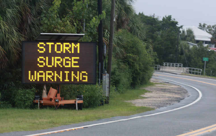
The hurricane is forecast to bring a storm surge of 2 to 10 feet in certain areas and heavy rain through Friday morning.
Parts of central and northern Florida and southeastern North Carolina could get 6 to 12 inches of rain, with up to 18 inches possible. And parts of southeast Georgia and South Carolina could get 10 to 20 inches of rain, with up to 30 inches in some areas, the hurricane center said.
Tropical storm conditions are expected to continue along parts of Florida’s Gulf Coast through Sunday night, in addition to hurricane conditions along the coast from the Suwannee River to Yankeetown.
Florida Gov. Ron DeSantis compared Debby’s path to that of Hurricane Idalia, the Category 4 storm that caused significant damage in north Florida last year.
Debby won’t have winds as strong as Idalia’s, but it will bring much more moisture, DeSantis said Sunday afternoon.
Read the full article here


