




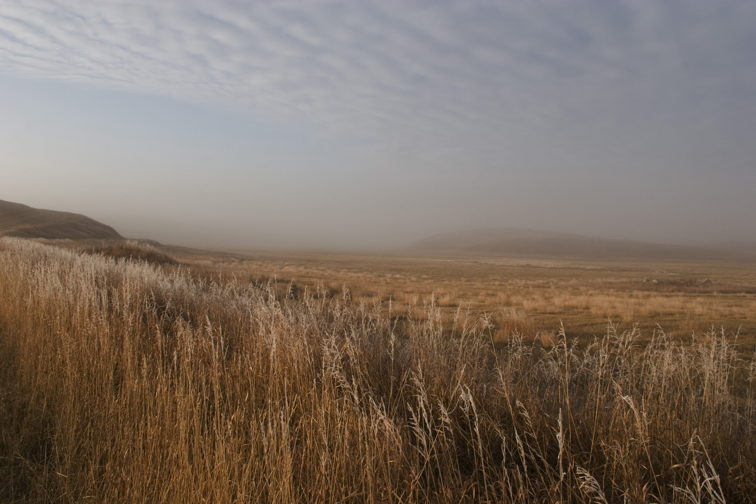
A freeze watch was in place for much of western and some central areas of North Dakota from the National Weather Service (NWS) on Friday, warning of sub-freezing temperatures as low as 30 degrees.
Why It Matters
The agency warned that frost and freeze conditions may kill crops and other sensitive vegetation, as well as posing a potential risk of damage for unprotected outdoor plumbing.
What To Know
The NWS’s alert applied to the following North Dakota counties:
- Divide County
- Burke County
- Williams County
- Mountrail County
- McKenzie County
- Dunn County
- Mercer County
- Oliver County
- McLean County
- Golden Valley County
- Billings County
- Stark County
- Morton County
- Slope County
- Hettinger County
- Grant County
- Bowman County
- Adams County
“Take steps now to protect tender plants from the cold,” the alert urged residents in affected areas.
At the time of writing, the freeze watch was set to remain in force from late Friday night through Saturday morning.
In central portions of the state, the NWS warned that areas of frost would also be possible late Saturday night through early Sunday morning.
“A freeze watch is issued when there is a potential for significant, widespread freezing temperatures within the next 24-36 hours,” the NWS explains on its website.
They are announced “in the autumn until the end of the growing season (marked by the occurrence of first widespread freeze). The normal end of the growing season is mid to late October west of the Blue Ridge and early November east of the Blue Ridge,” according to the agency.
Cities affected by the freeze watch included: Powers Lake, Turtle Lake, Beach, New Town, New Leipzig, Lignite, Crosby, Carson, Halliday, New England, Wilton, Bowman, Mandan, Williston, Mott, Medora, Washburn, Marmarth, Portal, Beulah, Hettinger, Stanley, Bowbells, Center, Watford City, Elgin, Columbus, Dickinson, Parshall, Hazen, Garrison, Underwood, and Killdeer.
What People Are Saying
The National Weather Service forecast office, Bismarck, North Dakota said in a post on X, Friday: “A freeze watch remains in effect for much of western and parts of central North Dakota late tonight into early Saturday morning where temperatures could drop as low as 30 degrees. Frost and freeze conditions could damage crops and other sensitive vegetation.”
It said previously: “Cold temperatures are expected early Saturday morning and again early Sunday morning, possibly leading to some frost development.”
NWS Bismarck also said: “Chilly temperatures are expected Friday night into Saturday morning, with widespread lows in the 30s. Some parts of the western half of the state are likely to see their first frost of the season.”
What Happens Next
The NWS issues regular forecast updates on its website and social media channels.
Read the full article here